
REVIEW · CAPE VERDE HIKING TOURS
Santiago: Monte Tchota Natural Park to Pico d’Antónia Hike
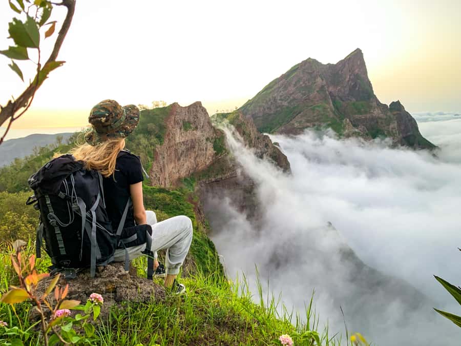
Santiago’s highest summit rewards steady legs. This six-hour outing combines the cool, plant-filled setting of Monte Txota Natural Park with a climb to Pico d’Antónia, the island’s highest point at about 1,394 meters. I like the mix of nature and wide views, especially the chance to spot Maio and Fogo’s volcano in clear weather.
I also like that transportation, hotel pickup, a guide, insurance, and a simple picnic are included in the $100 price. The main caution is the difficulty: this is a roughly 9-kilometer one-way route with narrow, sloping sections, about 660 meters of ascent, and up to 1,280 meters of descent. It suits fit walkers, not casual sightseers.
Key points before you book
- Cool mountain air at 800 meters: Monte Txota has its own micro-climate and is one of the cooler parts of Santiago.
- Highest point on Santiago: Pico d’Antónia reaches roughly 1,394 meters and gives you broad views across much of the island.
- A real mountain walk: Expect 4 to 5 hours on foot inside a six-hour outing, with difficult sections and possible level 1 climbing.
- Far-reaching views: On a clear day, you may see Maio Island and the volcano on Fogo Island.
- Guide quality matters: Guide Elder received special praise for pacing, safety, plant information, and calm support on harder parts.
- Good value for a private or small group: Transport, a picnic, insurance, and multilingual guiding are included in the $100 rate.
Why this Santiago hike is worth considering
Santiago is often introduced through Praia, colonial-era Cidade Velha, and busy local markets. This excursion shows you a quieter side of the island. The route moves into the central mountains, where higher altitude brings cooler air and a different plant life from the coast.
I like that this is not simply a drive to a viewpoint. You walk through Monte Txota, gain height toward Pico d’Antónia, stop for food, and return by way of the park before the ride back to your accommodation. The walking is the main event, not a short add-on between vehicle stops.
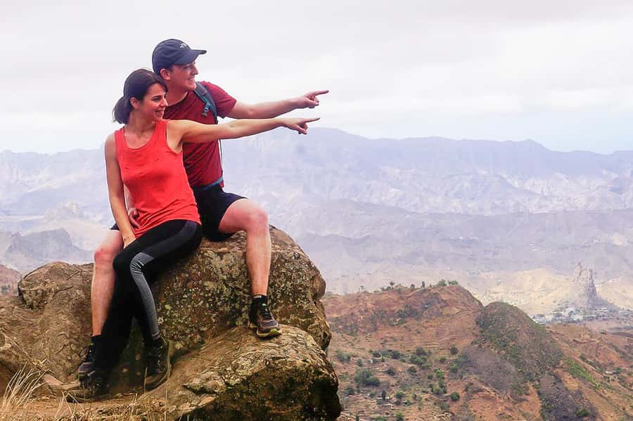
At the summit area, the reward is space and scale. You can look over the São Jorge Valley and, if the air is clear, pick out Maio and Fogo in the distance. Those distant islands are weather-dependent, so treat them as a bonus rather than a promise. Clouds, haze, or mountain weather can block the far views.
The trip is priced at $100 per person. That is not a bargain-basement mountain walk, but the cost includes several useful pieces: pickup and drop-off in Praia or São Jorge dos Órgãos, transportation, a live guide, liability insurance, and a picnic with soft juice, a sandwich, and fruit. For a small group, that package can make sense because you are not arranging a mountain transfer and guide separately.
A few more hikes around the world worth a look
- From Marrakech: Ouzoud Waterfalls Guided Hike and Boat Trip
★ 4.7 · 33,630 reviews - Berber villages : Atlas Mountains Day Hike from Marrakech
★ 5.0 · 14,007 reviews - Bali: Sunrise Mount Batur Guided Hike with Breakfast
★ 4.8 · 9,660 reviews
From Praia to Rui Vaz and Monte Txota
Your day begins with a vehicle ride to Rui Vaz, where the walking portion starts. Pickup is included from accommodation in Praia or São Jorge dos Órgãos. You should wait in the hotel lobby 10 minutes before the agreed time, with the driver carrying a sign showing your last name. The stated waiting limit is five minutes after pickup time, so do not treat the departure as flexible.
Monte Txota begins at around 800 meters. That height matters. Santiago can feel hot and dry at lower levels, while this area is cooler and has its own local weather pattern. Bring a light layer even if Praia feels warm when you leave, but do not forget sun protection. Mountain air can feel mild while the sun remains strong.
The park is important because it gives you more than a bare ridge walk. You pass through an area noted for its plant variety, with the temperature and moisture of the micro-climate shaping what grows there. The supplied details do not promise a particular animal sighting or a specific flower season, so I would focus on the change in vegetation and air rather than expecting a wildlife tour.
The first section is a good place to settle into the pace. Your guide can help manage the group, point out plants, and explain the route. Guide Elder was praised for sharing information in an easy-to-follow way, while also watching safety and helping during difficult stretches. That combination is useful here. You need more than facts when the path becomes steep or awkward.
Climbing toward Pico d’Antónia
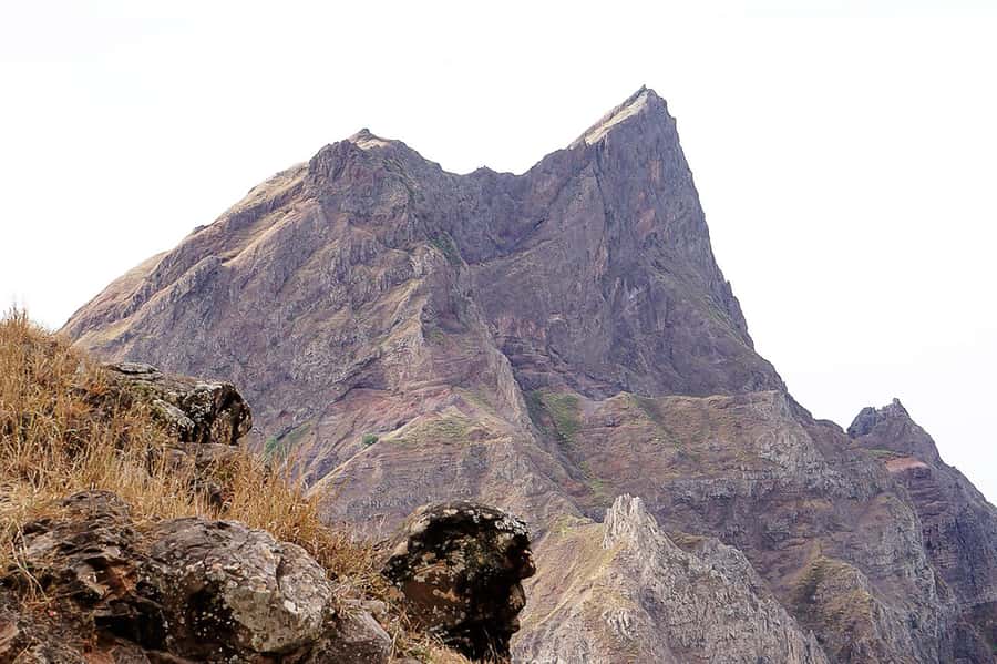
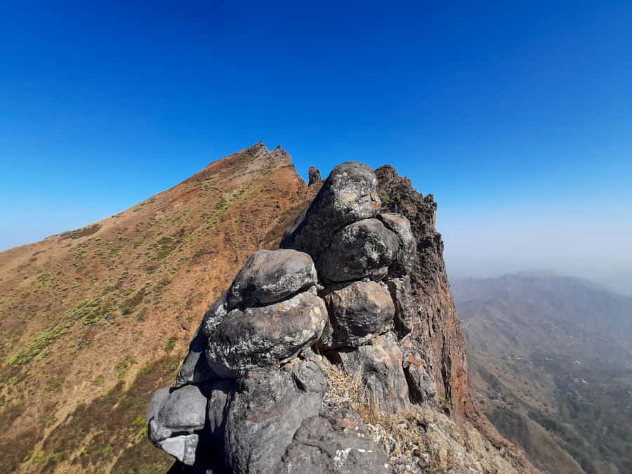
From the park, the trail continues toward Pico d’Antónia. The summit rises to about 1,394 meters, making it the highest point on Santiago. The route gains roughly 660 meters, but the full height profile is more complicated than a simple uphill climb. The lowest point is listed at about 485 meters, and total descent can reach around 1,280 meters.
That large descent figure is the warning many people need. Downhill walking can punish knees and thighs, especially after a hard climb. The trail is described as narrow and tilty, meaning you should expect uneven footing rather than a broad, smooth path. Walking sticks are strongly advised, and they can help with balance on both the climb and the return sections.
Some portions may require level 1 climbing. This does not mean technical mountaineering, but you may need to use your hands on short sections. Hiking shoes are essential. Trainers with smooth soles are a poor choice for a narrow mountain path, particularly if conditions are damp.
The walking time is about 4 to 5 hours, within a total excursion lasting about six hours. That leaves time for the vehicle transfers, the picnic stop, and pauses to take in the views. Your exact pace will depend on the group and on how the guide handles the harder sections. The experience is better suited to a steady, patient walker than to someone trying to race to the top.
You should have some fitness and no health problems that could make a difficult mountain walk unsafe. The outing is not suitable for pregnant women, people with mobility impairments, wheelchair users, or people with respiratory issues. It is also limited to people over 16.
The summit views over Santiago
As you approach Pico d’Antónia, the scenery opens toward the São Jorge Valley. From high ground, you can see across a large part of Santiago, including views toward many of the island’s cities. This is the point where the effort begins to feel worthwhile.
The two extra island views are especially appealing. Maio may appear in the distance, and Fogo’s volcano can be visible when the atmosphere is clear. The wording matters: these are possible views, not guaranteed sights. Cape Verde’s dry climate can bring haze, and cloud around high points can change what you see during the same walk.
I would not judge the excursion only by whether Maio or Fogo appears. The central reward is reaching Santiago’s high point and looking down over the island’s valleys. The distant islands add a memorable layer when conditions cooperate.
Bring your camera, but keep your hands free on the trickier parts. A small daypack is more useful than a large bag, and you should keep water easy to reach. The required packing advice includes a sun hat, drinks, sunscreen, hiking shoes, and water. Hiking pants are especially recommended from August through November, when the trail may brush against vegetation or feel less comfortable in shorts.
Same trailhead, a different kind of day:
- Bali: Mount Batur Sunrise Guided Hike and Natural Hot Spring
★ 4.8 · 9,284 reviews - Cinque Terre Day Trip with Optional Hiking or Pisa
★ 5.0 · 8,486 reviews - From Marrakech: Atlas Mountains Full-Day Hiking Trip w Lunch
★ 4.8 · 7,417 reviews - Marrakech: Ourika Valley Trip with Waterfall Hike
★ 4.6 · 6,792 reviews
Picnic time and the return route
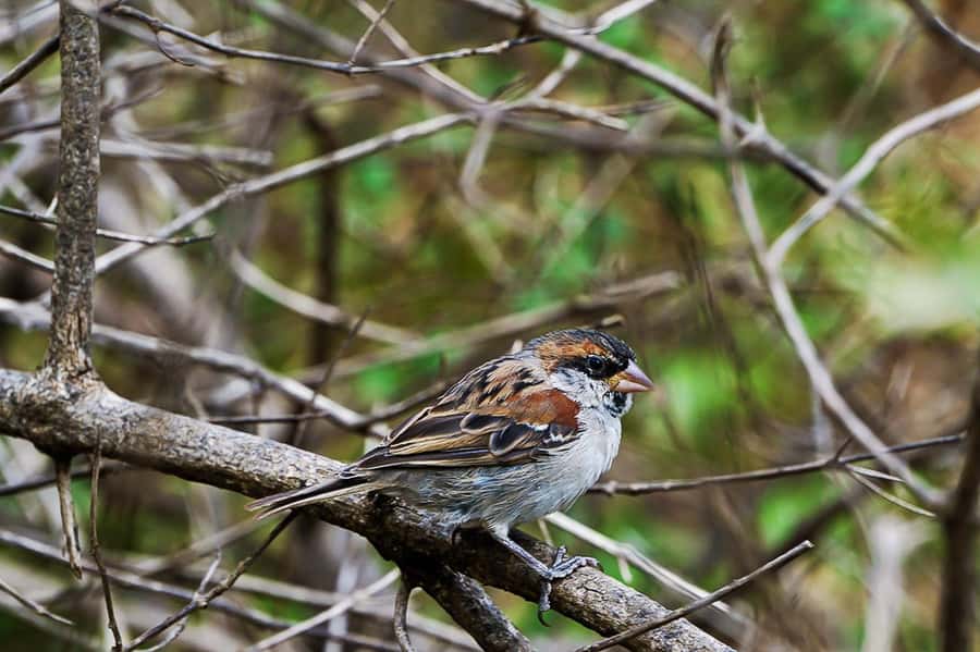
A small picnic is included during the walk. You receive a sandwich, fruit, and soft juice. It is a practical break rather than a full meal, so eat a proper breakfast before pickup and carry extra water. The instructions specifically tell you to bring drinks, and that advice is worth following.
The stop also gives you a chance to slow down and take in the mountain views. On a difficult route, a planned pause helps you manage energy rather than treating the entire walk as one long push. Your guide can also check how the group is handling the trail before the return.
The route is described as one way, with the walk ending by returning to Monte Txota Natural Park and then taking the vehicle back to your hotel. Because the trail includes considerable descent, do not assume the return is easy simply because you are going downhill. Loose or uneven footing can make descending harder than climbing.
This is also where good guiding has real value. Elder was praised for matching the group’s pace, helping during demanding moments, and paying attention to safety. Another booking specifically praised the guides and called the driver exceptional. Those comments suggest that the human side of the outing is one of its strongest features, though the exact guide and driver may depend on the date.
How difficult is the route?
The operator rates the walk as difficult. I would take that seriously. The distance is about 9 kilometers, walking time is around 4 to 5 hours, and the path can be narrow and sloping. Add the ascent, descent, sun, and possible hand-assisted sections, and this is not a casual half-day stroll.
You do not need to be an athlete, but you should be comfortable walking for several hours on uneven ground. If you regularly hike and can handle sustained uphill and downhill walking, the challenge may feel manageable. If your usual holiday activity is a flat city walk, choose something easier.
The route’s age restriction of over 16 is another useful signal. It reflects the physical demands and trail conditions rather than simply the length of the outing. People with breathing problems should not book, and anyone with a medical concern should choose a less demanding activity.
Wear hiking shoes with good grip. Hiking pants are a smart choice from August to November, and walking sticks can make the route safer and more comfortable. A hat, sunscreen, and water are not optional extras in practice. You should also avoid carrying more than you need.
Guides, languages, and group size
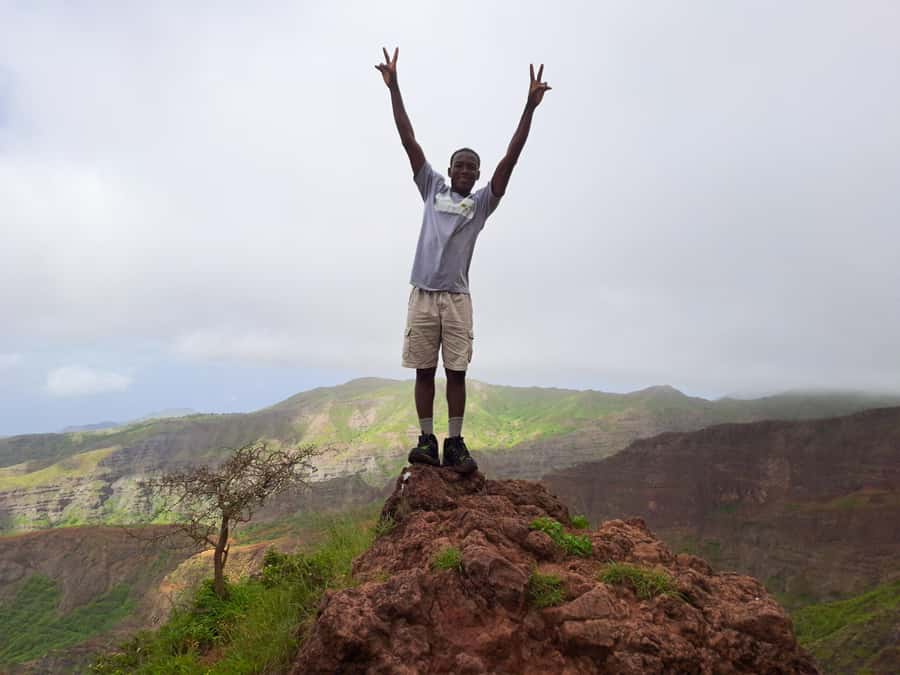
The tour is available with guides speaking English, French, Spanish, or Portuguese. That gives you a better chance of receiving route instructions and nature information in a language you understand well. On a demanding trail, clear communication matters as much as sightseeing commentary.
Private and small-group options are available. A small group can offer a social feel while still allowing the guide to monitor people more closely. A private outing may be worth considering if you want the pace adjusted around your fitness, though the supplied details do not promise a specific private-tour schedule or price.
The shared group option needs at least two participants. If that minimum is not reached, the operator may suggest another date, offer to run the outing privately for an added fee, or cancel and provide a full refund. If you are building a tight Santiago itinerary, keep that condition in mind.
Pickup and drop-off are included in Praia and São Jorge dos Órgãos. If you are staying elsewhere on Santiago, an extra fee applies. Confirm that cost before booking, since it changes the total value of the excursion.
Is $100 a fair price?
For a self-guided walk, $100 would be a high price. But this is not just trail access. You receive transport to and from the mountain, a guide, liability insurance, and food. The drive matters because reaching Rui Vaz and returning from Monte Txota on your own would add planning and transport costs.
The price looks strongest for a small group or for anyone who values a guide’s help on a difficult path. The guide can set a sensible pace, explain the mountain vegetation, and assist when the trail becomes narrow or requires simple climbing. You are also paying for the convenience of starting from your accommodation rather than arranging a mountain transfer.
The value is weaker if you are an experienced hiker who already has transport, local route knowledge, and equipment. You also need to budget for extra pickup charges if you are outside Praia or São Jorge dos Órgãos. Still, for most visitors staying in the included pickup areas, the package is reasonably complete.
Free cancellation up to 24 hours before departure and the option to reserve without paying immediately make planning easier. Those terms are useful if your Santiago schedule may change, but they do not remove the need to prepare properly for the physical demands.
Who should book this hike?
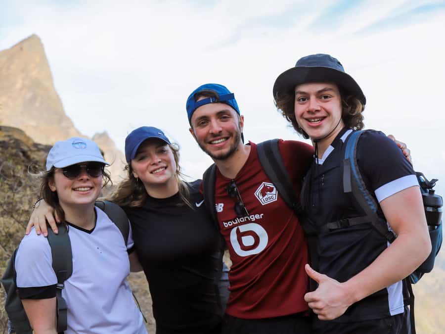
I would recommend it to fit walkers who want to see Santiago beyond the usual town stops. It is particularly suitable if you want the island’s highest point, cooler mountain conditions, broad valley views, and a guide who can add context to the plants and terrain.
It is less suitable if you dislike steep trails, have knee trouble, need an accessible route, or want a relaxed outing with little exertion. The word difficult is more important here than the attractive summit photos.
Book it if the climb itself sounds appealing and you are ready to bring proper shoes, water, sun protection, and a steady attitude. Skip it if your main goal is simply to see Maio or Fogo, since those views depend on weather and may not appear.
FAQ
How long does the Monte Txota to Pico d’Antónia hike take?
The complete experience lasts about six hours. Walking takes roughly 4 to 5 hours, with time also allowed for transportation and a picnic stop.
How far is the trail?
The trail distance is approximately 9 kilometers. It is described as a one-way route, ending with a return to Monte Txota Natural Park before the ride back to your accommodation.
How high is Pico d’Antónia?
Pico d’Antónia reaches approximately 1,394 meters and is the highest point on Santiago Island. The route’s maximum elevation is listed at about 1,400 meters.
What food is included?
The picnic includes a sandwich, fruit, and soft juice. You should still bring water and other drinks, as advised for the hike.
What languages are available for the guide?
Guides are available in English, French, Spanish, and Portuguese. Private and small-group options are offered.
Is the hike suitable for children or people with limited mobility?
The activity is for people over 16 and is intended for walkers with some fitness and no health problems. It is not suitable for wheelchair users, people with mobility impairments, pregnant women, or people with respiratory issues.
Should you book it?
Book this experience if you want a serious mountain walk with transport and guiding already arranged. Pico d’Antónia gives you Santiago’s biggest viewpoint, while Monte Txota provides a cooler, greener start than the island’s coastal areas. The guide support, picnic, and included transfers add real value to the $100 cost.
I would not book it for an easy outing or guaranteed views of Maio and Fogo. Go prepared for narrow paths, a hard climb, a demanding descent, and possible hand-assisted sections. For the right walker, this is one of the better ways to meet Santiago at its highest and quietest.
Just added around the world
- From Jökulsárlón: Vatnajökull Easy Level Glacier Hike★ 4.2 · 20 reviews
- From Kanab: 3-Hour Peek-a-Boo Slot Canyon Hiking/Photo Tour★ 4.9 · 25 reviews
- From Jujuy: Salinas Grandes, Purmamarca & Los Colorados Hike★ 4.2 · 75 reviews
- From Kalamata: Polylimnio Waterfalls Guided Hiking Tour★ 4.9 · 19 reviews
- From Kalkan: Saklikent Gorge and Gizlikent Waterfall Trek★ 4.7 · 13 reviews
- From Hanoi: Hoa Lu, Hang Mua Hike, Tam Coc Boat, and Lunch★ 4.4 · 28 reviews
- From Huaraz: Hike to the Lagoon 69★ 4.4 · 121 reviews
- From Kalabaka: Authentic Meteora Hiking Tour – Local Agency★ 5.0 · 20 reviews
Cape Verde Hiking Tours, compared.
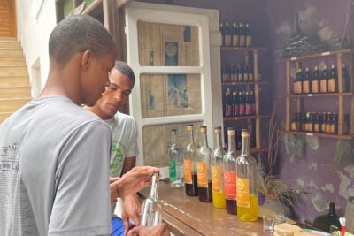
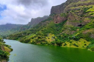
Serra Malagueta: Principal Valley Hike & Lunch with Locals
Read our review →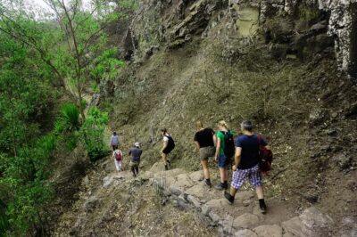
Santiago Island: Serra Malagueta & Tarrafal Beach Trek Tour
Read our review →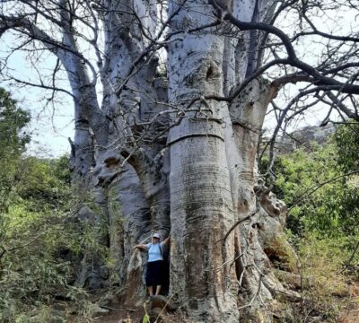
Baobab Mysterious Tree, Green Valley & Old City Hike
Read our review →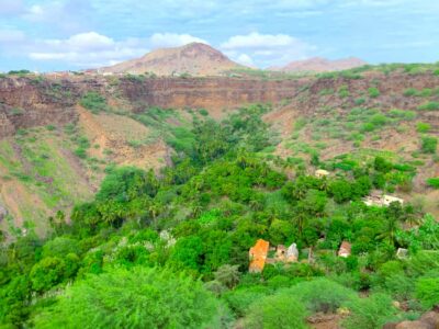
Santiago: Calabaceira Valley Trek & Visit to Cidade Velha
Read our review →Browse the lists this tour appears in